The Grindstone Creek project has been making excellent progress in the few months since it launched
The Grindstone Creek project has been making excellent progress in the few months since it launched (see Greenbelt-MNAI announcement). At the end of November and beginning of December, most of the project partners came together for two online workshops to review and provide feedback on the work done to-date and to provide input on upcoming work.
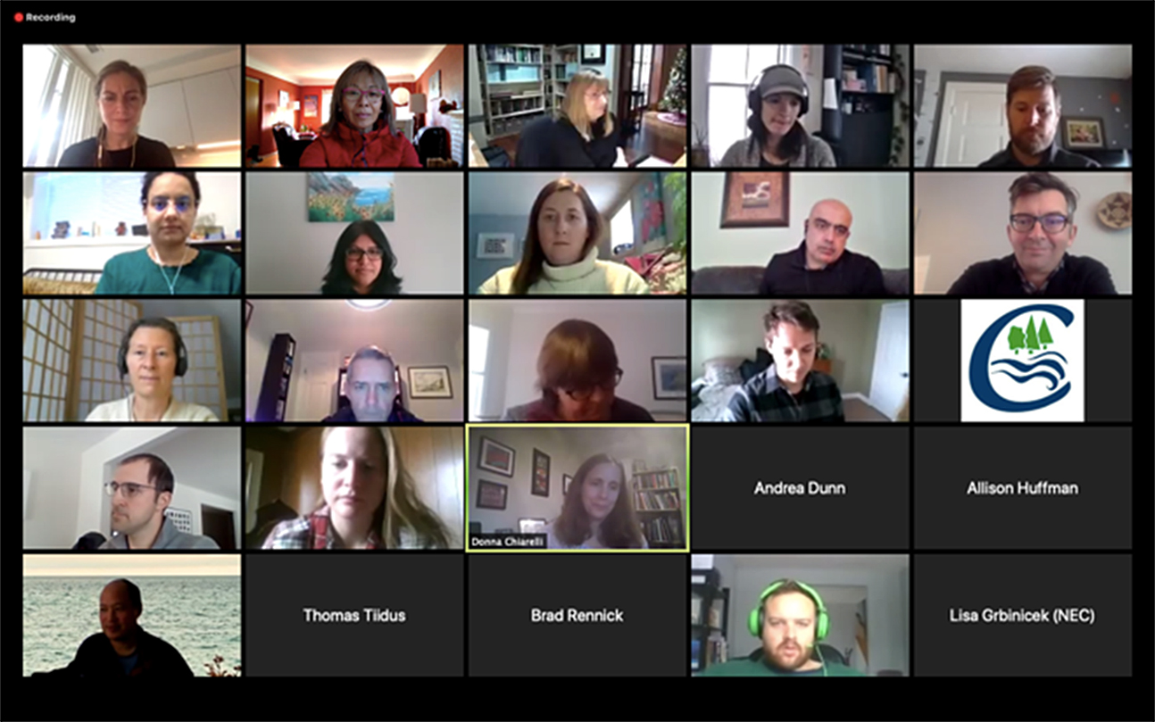
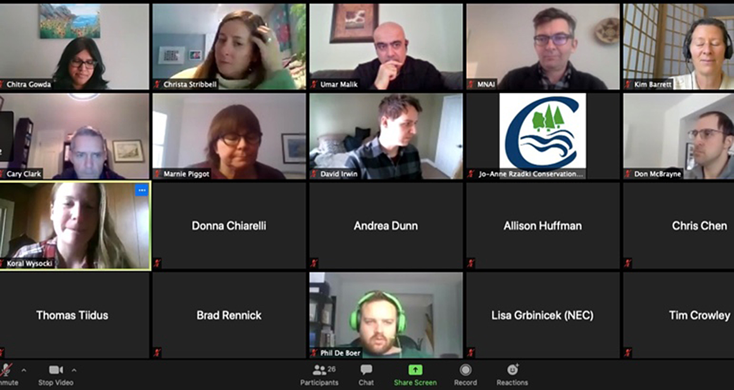
Grindstone Creek project workshop
First, MNAI showed the data it compiled from many stakeholders that indicated what natural assets currently exist in the project area.
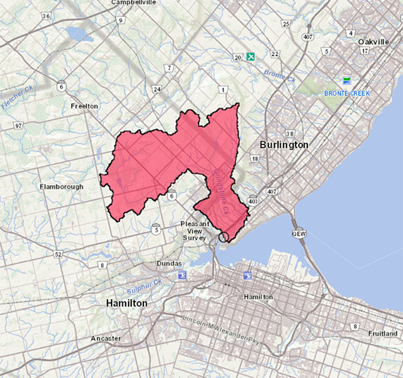
Grindstone Creek project area
These natural assets include forests, green land, pasture, shrub land, wetland, riparian zone, sub-watershed, etc. The data formed an inventory – a clear and itemized list – of the natural assets and their attributes.
The workshop then moved to the condition of the natural assets. These data indicate how well an asset is performing and track the proportion of assets in good, fair and poor condition. These assessments could identify gaps between the present state of assets and the desired state of assets and their associated services.
MNAI then presented for discussion what risks the natural assets might face, the likelihood of those risks occurring, and the possible implications. The risks could come from flooding, drought, beaver dams, pressures from developments, erosion, ice jams, pollutants like road salt, illegal dumping that could contaminate soil and thereby drinking water, etc. The group discussed what actions might be needed so the natural assets can continue delivering services.
The discussions then moved to modeling. MNAI presented various real and practical scenarios to illustrate, for example: if the risk of increased flooding from climate change actually occurs, what might happen to the forests and wetlands as they exist now, or if they all disappeared in the future.
From the modelling, the group then reviewed and discussed what it might cost to replace damaged or lost natural assets with engineered infrastructure – for example, replacing a natural wetland with a constructed stormwater management pond. The economic assessment included construction, operations and lifecycle maintenance costs, as well as social values such as carbon sequestration, habitat protection and recreation.
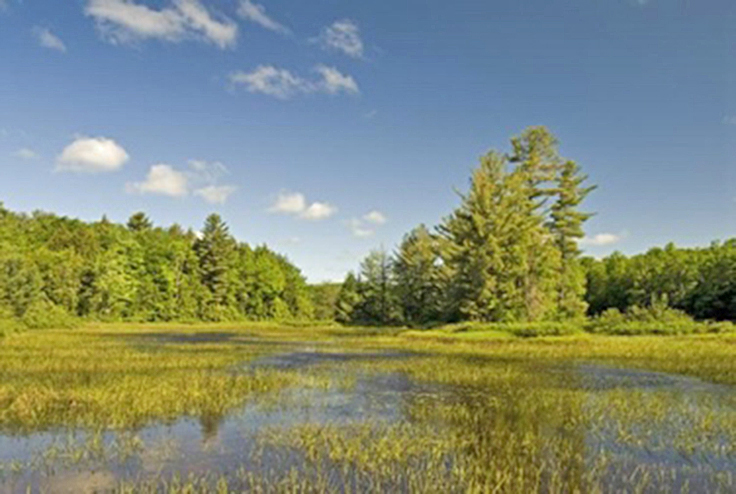
Photo: wetland: Greenbelt Foundation
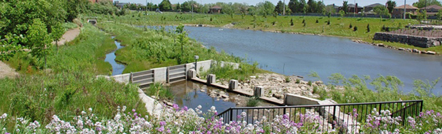
Photo: Stormwater management pond: Associated Engineering
The MNAI team will now refine the data based on the feedback and input from the project partners. Ultimately, the final roadmap will help stakeholders identify, value and account for natural assets in their financial planning and asset management programs. They could then develop sustainable, cost-effective and climate-resilient flood management and storm water management infrastructure, reduce risk and potential liability due to flooding, erosion and sedimentation, and continue providing sustainable service delivery to communities.
The Grindstone Creek project represents a new way forward to address the impacts of climate change and shrinking municipal budgets to help ensure residents can depend on the watershed to manage stormwater flow, reduce flooding and improve water quality, as well as other services for years to come.
Through a site-specific evaluation, planning and implementation process, the Greenbelt Foundation and Municipal Natural Assets Initiative (MNAI) are working with the cities of Hamilton and Burlington, Conservation Halton and Royal Botanical Gardens to develop an asset management plan for Grindstone Creek, part of Ontario’s Greenbelt, which drains a watershed area of 91 km2. The initiative will help the municipalities invest in the creek’s watershed as a means of cost-effectively addressing local flood-risk and water contamination in Hamilton Harbour.

